Drones in Manchester: Aerial Photography's Green Impact
In the bustling urban landscape of Manchester, a city known for its rich industrial history and vibrant cultural scene, a quiet revolution is taking place. The advent of drone technology offers a new perspective on environmental monitoring and conservation efforts. This technological leap is not just changing the way we view the landscapes around us but also how we protect them. This blog post explores the transformative role of drones in Manchester's green initiatives.
The Dawn of Drone Technology in Environmental Conservation
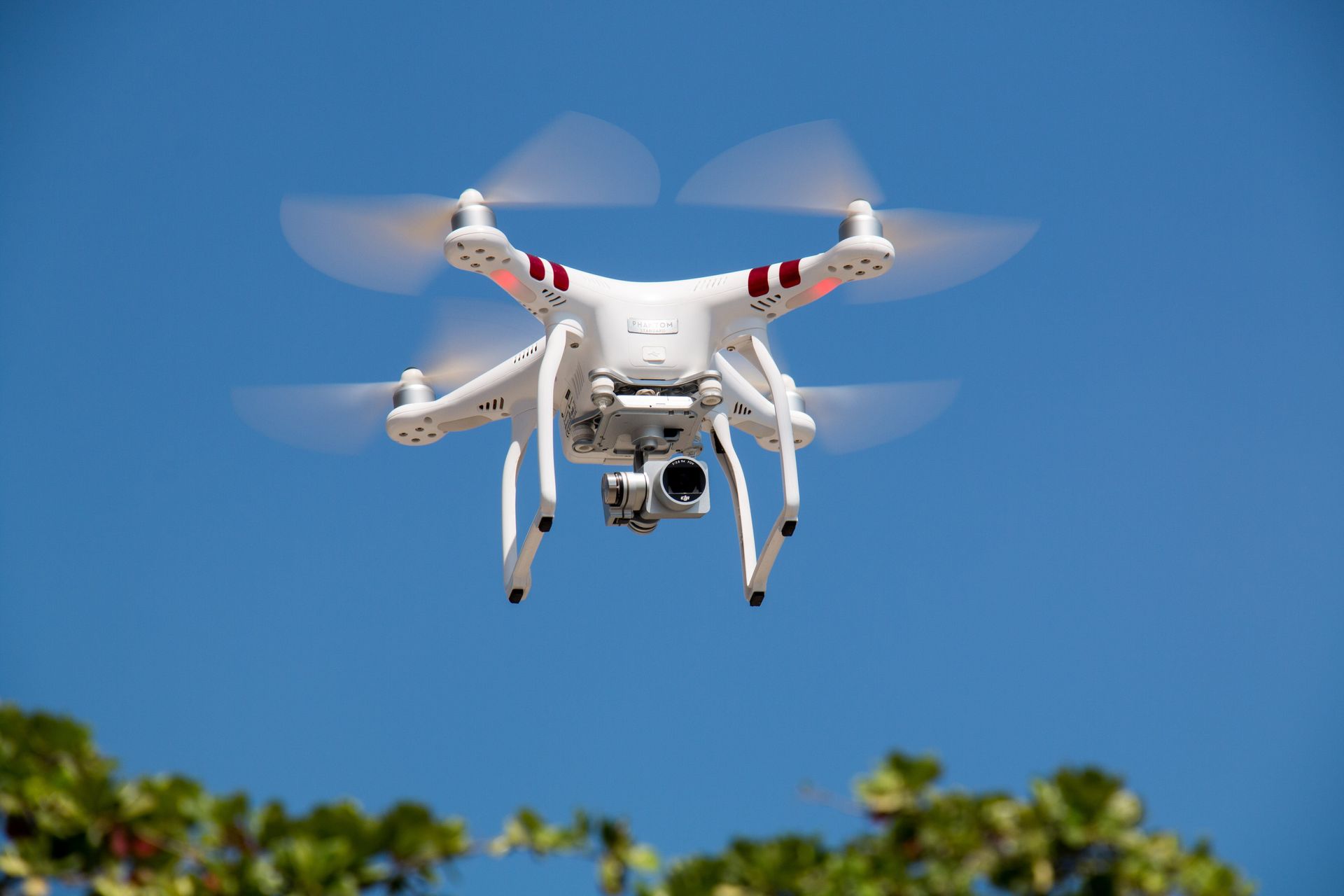
Drones, equipped with advanced imaging technologies, have ushered in a new era of environmental stewardship.
Aerial photography, a mainstay service provided by companies like Aerial Photography Manchester, enables detailed and comprehensive surveillance of vast and inaccessible areas. This capability is crucial for effective environmental monitoring, allowing real-time tracking of changes in ecosystems, wildlife populations, and land use patterns.
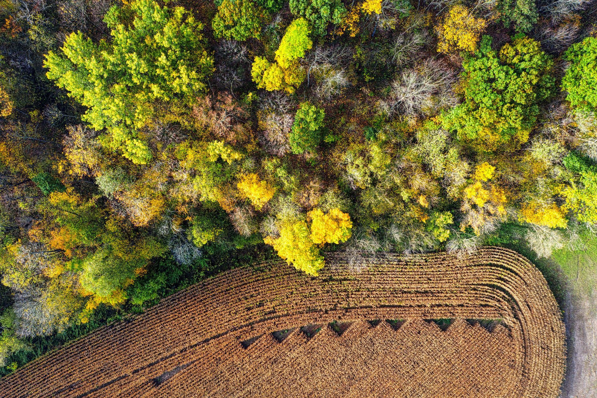
Mapping the Unmapped: Aerial Photography's Role
Using
aerial photography in environmental monitoring allows for the creation of accurate, high-resolution maps of diverse landscapes. These maps are invaluable tools for conservationists and city planners alike, offering insights into the effects of urban expansion on natural habitats. Moreover, aerial photography facilitates tracking illegal activities such as unauthorised deforestation, waste dumping, and wildlife poaching, enabling prompt action.
Drone Photography: A Catalyst for Change in Manchester
Manchester's green spaces and waterways, once heavily impacted by industrial pollution, are now benefiting from drone-assisted conservation strategies.
Drone photography offers a bird's-eye view that is instrumental in identifying pollution sources, monitoring cleanup efforts, and assessing the health of natural habitats. Local environmental groups and governmental bodies are increasingly relying on drone technology to oversee the restoration of Manchester's natural beauty, fostering a sustainable urban environment.
The Future of Drones in Environmental Efforts
The potential of drones in enhancing environmental monitoring and conservation efforts is vast and largely untapped. As technology advances, drones will become even more indispensable tools in the quest to preserve our planet. Their ability to gather data, monitor changes, and provide unprecedented views of the earth's surface positions drones as a critical ally in Manchester's and the world's environmental conservation strategies.
The role of drones in Manchester's environmental monitoring and conservation efforts is a testament to the power of technology to bring about positive change. Drone photography is paving the way for a more sustainable future. By embracing this innovative tool, Manchester is setting an example for cities worldwide in the fight to protect our natural world.
Aerial Photography Manchester is not just a drone service provider; we are a crucial partner in the city's environmental initiatives. By harnessing the power of drone photography, our aerial photographer team supports ongoing conservation projects, wildlife protection efforts, and the promotion of public awareness about environmental issues. Our work underscores the importance of adopting new technologies in the fight against environmental degradation and climate change.
To know more, read our latest GBP update about how
aerial photography help with Manchester's environmental monitoring and conservation efforts.