Complete Step-by-Step Guide to Aerial Photography for Homeowners
In recent years, aerial imaging has become an incredibly useful tool for homeowners and property professionals alike. With drone technology becoming more accessible and affordable, capturing high-quality images of your home or land from above is no longer reserved for commercial developers or media companies. Whether you're planning renovations, marketing your property, or simply keeping records, this guide walks you through every stage of the process — from understanding the basics to making informed decisions on equipment or services.
This comprehensive guide is designed for
homeowners, property managers, estate agents, contractors, and builders seeking reliable insights into how aerial imaging can benefit their projects.
1. Understanding the Basics of Aerial Photography
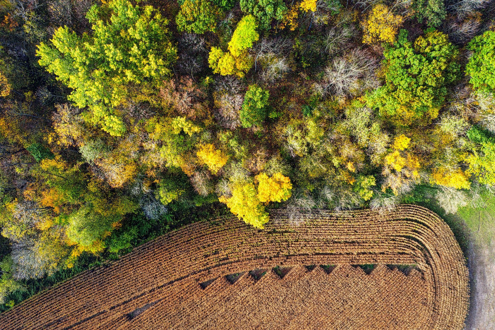
Aerial photography involves capturing images from an elevated position, most commonly using unmanned aerial vehicles (UAVs), or drones. These images offer perspectives that simply aren’t possible with ground-based photography.
For homeowners, this type of imagery is especially valuable for inspecting roofs, visualising landscaping changes, documenting property boundaries, or preparing a home for sale. The detail and scope provided by these photographs give a better overview of a property’s full layout, surroundings, and condition — essential information for planning or marketing.
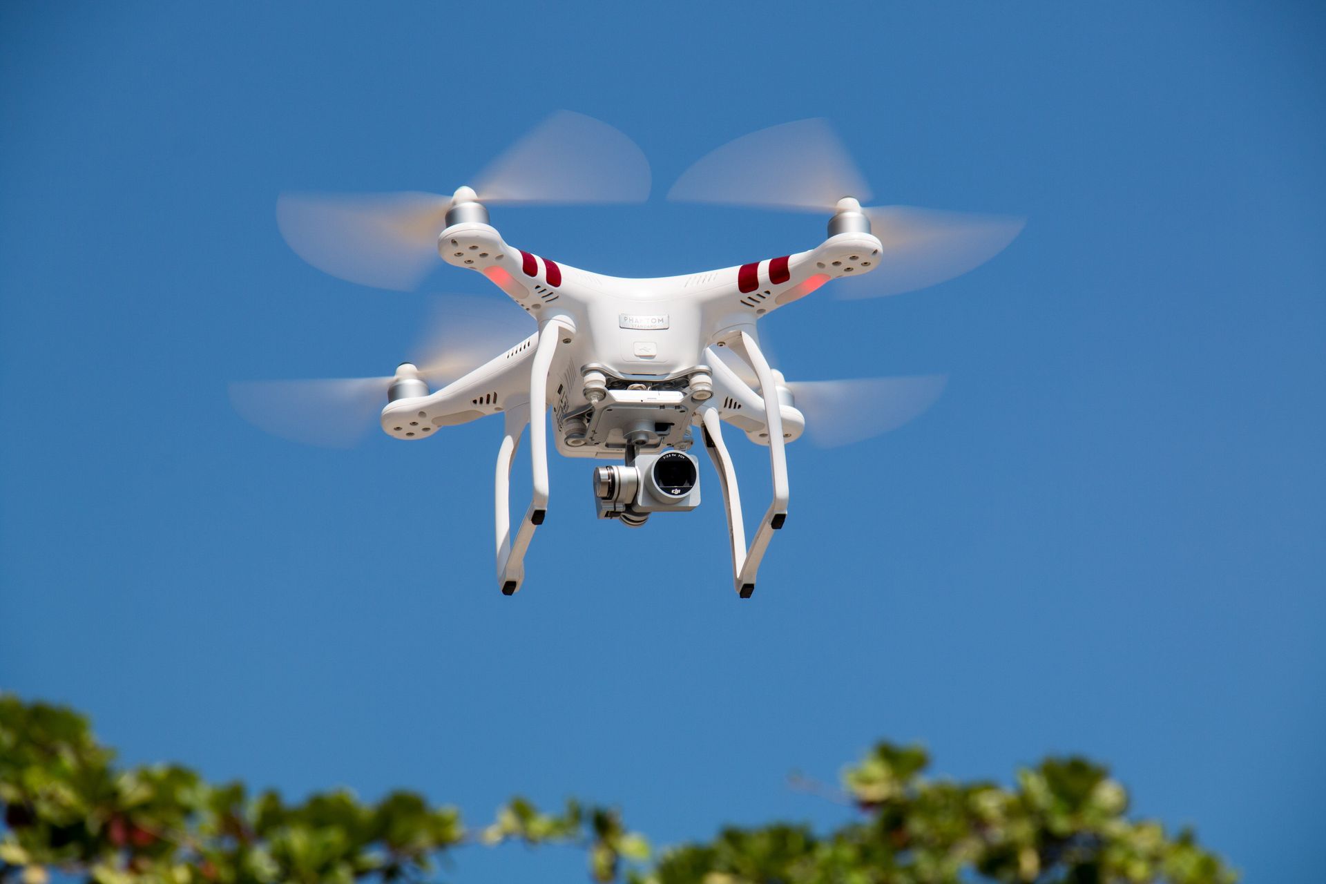
A typical setup includes a high-resolution camera mounted on a drone, which is piloted either manually or through pre-programmed flight paths. Importantly, flying a drone for image capture requires a basic understanding of UK drone regulations, particularly if you're flying near people or other properties.
2. Choosing the Right Equipment or Provider
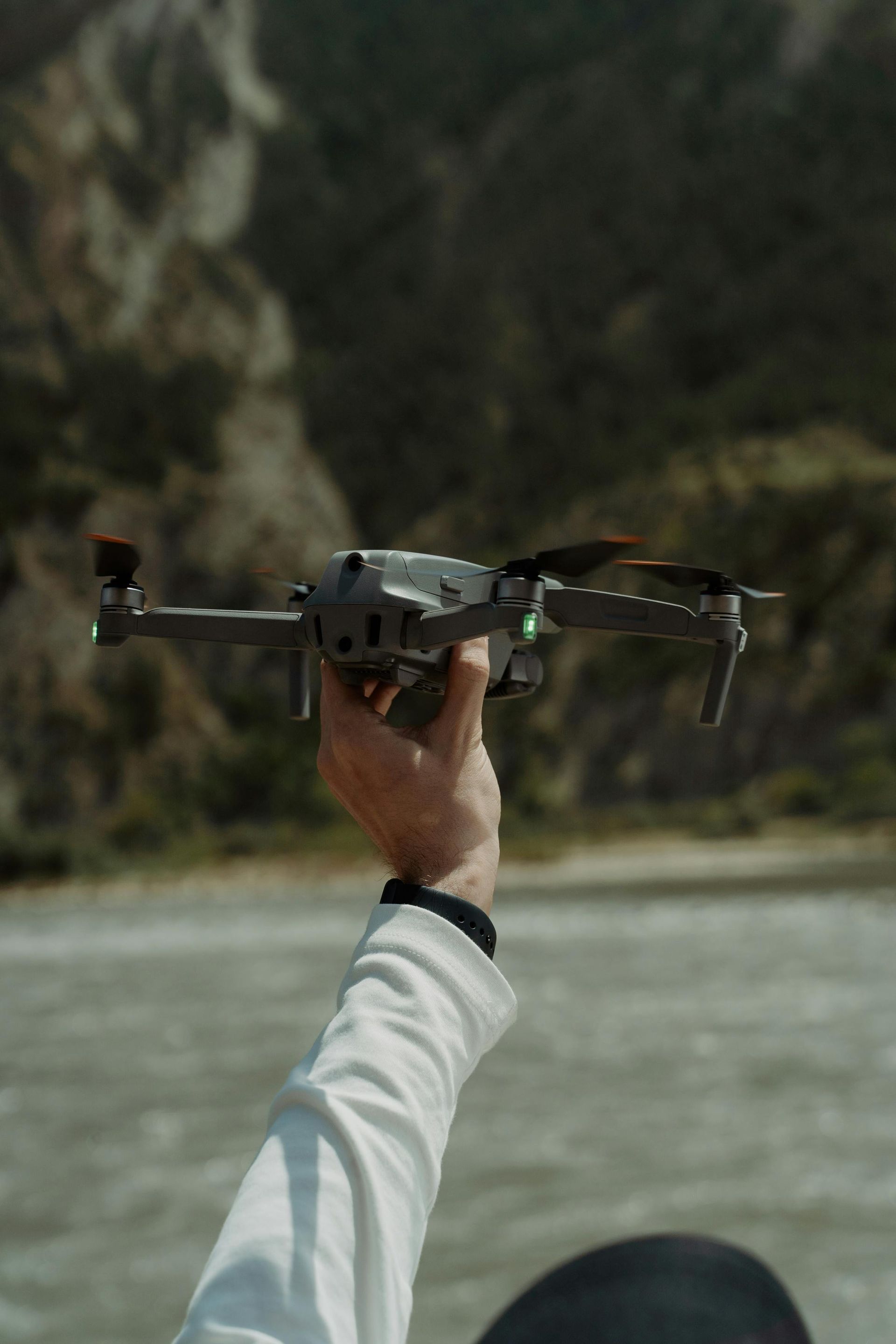
When deciding how to proceed with your imaging needs, the first choice is whether to handle it yourself or hire a professional. While some tech-savvy homeowners opt to buy a drone, many prefer the convenience and quality that comes from hiring drone photography services.
A reputable provider will not only bring professional-grade equipment but will also be fully insured and licensed to operate commercially. This ensures compliance with all relevant UK regulations, including those set by the Civil Aviation Authority (CAA). A professional operator will also have the experience to produce steady, well-framed shots with proper lighting and angles.
On the other hand, if you prefer to handle the job yourself, be sure to research the right type of drone for your needs. Consider camera resolution, battery life, flight stability, and user-friendly controls.
3. Planning Your Shoot: Timing, Weather & Permissions
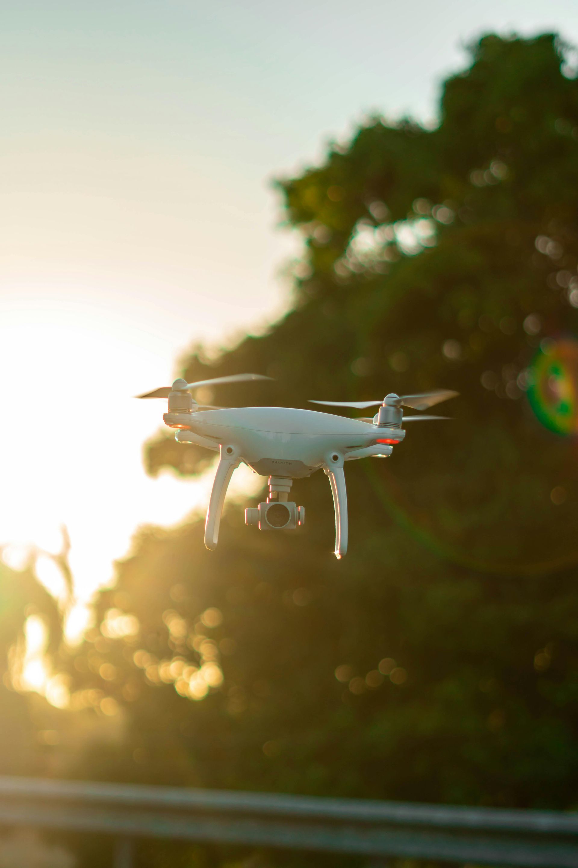
Proper planning makes a major difference in the results you’ll get. For instance, the time of day affects shadows and light direction, which directly impacts photo clarity and colour accuracy. Early morning or late afternoon tends to produce the most visually appealing results due to soft, angled lighting.
Weather is equally important. Overcast days may result in dull images, while windy conditions can make drone operation unstable or even unsafe. Before scheduling a shoot, check the weather forecast and ensure clear skies and calm winds.
If you’re flying in a residential area, it’s courteous — and sometimes legally necessary — to inform neighbours. In some cases, you may also need permission from local authorities, particularly if you're flying near restricted areas like airports or parks. To ensure everything goes smoothly, consider searching for drone photography near me and working with a local expert familiar with your region’s specific regulations.
4. Executing the Shoot: Step-by-Step Process
Once everything is in place, it’s time to conduct the shoot. A typical process includes:
- Pre-flight check – Ensure the drone is charged, calibrated, and operating correctly.
- Set flight plan – Establish the path you’ll fly to cover key areas like the roof, gardens, driveways, and property lines.
- Adjust camera settings – Choose the correct resolution and frame rate depending on whether you want stills, video, or both.
- Conduct the flight – Carefully operate the drone, keeping a steady altitude and smooth movements.
- Review footage immediately – This allows you to reshoot areas if lighting or angles weren’t ideal.
- Secure data – Download and back up your files promptly.
It’s essential to follow safety procedures and avoid flying too close to buildings or people. If you're not comfortable with this process, hiring a professional is often the safer and more efficient choice.
5. Editing and Using Your Aerial Images
Once the shoot is complete, you’ll likely need to edit the raw images for optimal clarity and presentation. Simple edits such as cropping, brightness adjustment, and colour correction can significantly enhance the final result. Free and paid editing software like Lightroom, Photoshop, or mobile-friendly apps offer straightforward tools for this purpose.
Edited images can be used in various ways:
- For
estate agents, aerial photos add a professional edge to property listings.
- Builders and contractors can document progress across phases of a project.
- Homeowners might use images for planning applications or long-term maintenance records.
If you've invested in drone photography, making full use of your images maximises the value of your efforts.
6. Costs and Considerations
Understanding the general pricing landscape helps when budgeting for aerial imaging. The drone photography cost depends on several factors:
- Area to be covered
- Type of shots (video, stills, panoramic)
- Editing requirements
- Operator’s experience and credentials
For a basic package, expect to pay between £100 and £300. More complex shoots involving multiple angles, edited video, or large-scale sites will naturally cost more.
While this may seem like an upfront expense, it's often a wise investment. High-quality aerial images can improve a property’s marketability, reduce inspection costs, and support informed decision-making for renovations or repairs.
7. When to Hire Professionals
There are situations where hiring a professional is the best route. For example, large or complex properties, legal documentation, or marketing-grade visuals demand precision, consistency, and compliance with aviation rules.
Professional operators bring more than just equipment — they offer experience, efficiency, and often, faster turnaround times. If you're unsure where to start, searching online for trusted drone photography companies in your area is a good first step.
Even for simpler jobs, the peace of mind that comes with professional handling is often worth the added cost.
Capturing elevated views of your property no longer requires expensive equipment or specialised knowledge. With a basic understanding of drone usage, careful planning, and attention to legal considerations, aerial imaging can be an accessible and valuable tool for homeowners, builders, and estate professionals.
Whether you decide to do it yourself or hire a professional, this guide has equipped you with the knowledge to make informed choices and ensure high-quality results.
At Aerial Photography Manchester, we bring together expert drone pilots, advanced equipment, and a commitment to quality to ensure you receive reliable, professional-grade aerial images. We understand the unique needs of homeowners, real estate agents, and contractors, offering personalised service with safety and compliance at the core of everything we do.
Whether you're looking to market a property, document a build, or inspect hard-to-reach areas, we’re here to help — with honest pricing, fast delivery, and results you can trust.
Choose us for dependable service and stunning aerial visuals, every time.
Quick read: Step-by-step tips for
aerial photography around your property!